
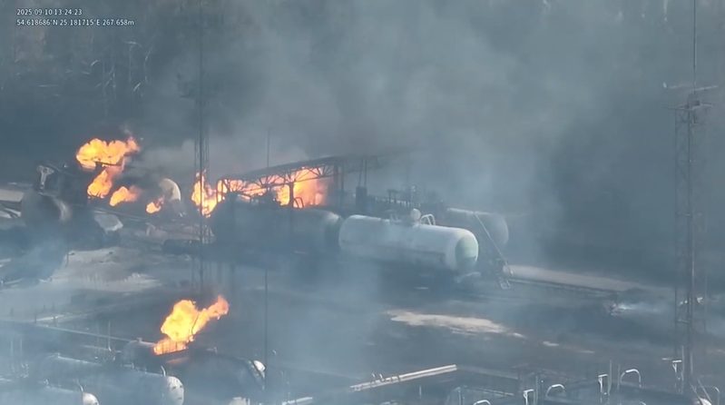
Energy networks span vast, often hard-to-access terrain. Transmission corridors run through forest and wetland; solar parks cover hundreds of hectares; substations sit unmanned for weeks at a time. Manual inspection of these assets is slow, expensive and exposes crews to height and voltage risk.
Following predefined flight paths, DBOX collects high-resolution visual and thermal data in real time, enabling early detection of damage or risk caused by fallen trees, storms, ice loading or equipment failure, before it becomes an outage.
Large-scale, remote assets spread across terrain that vehicles and crews cannot reach quickly.
Manual checks are complex, time-consuming and costly, while storm and environmental damage must be located within hours, not days.
Unplanned downtime is expensive, and climbing or rope-access inspections put personnel at risk.
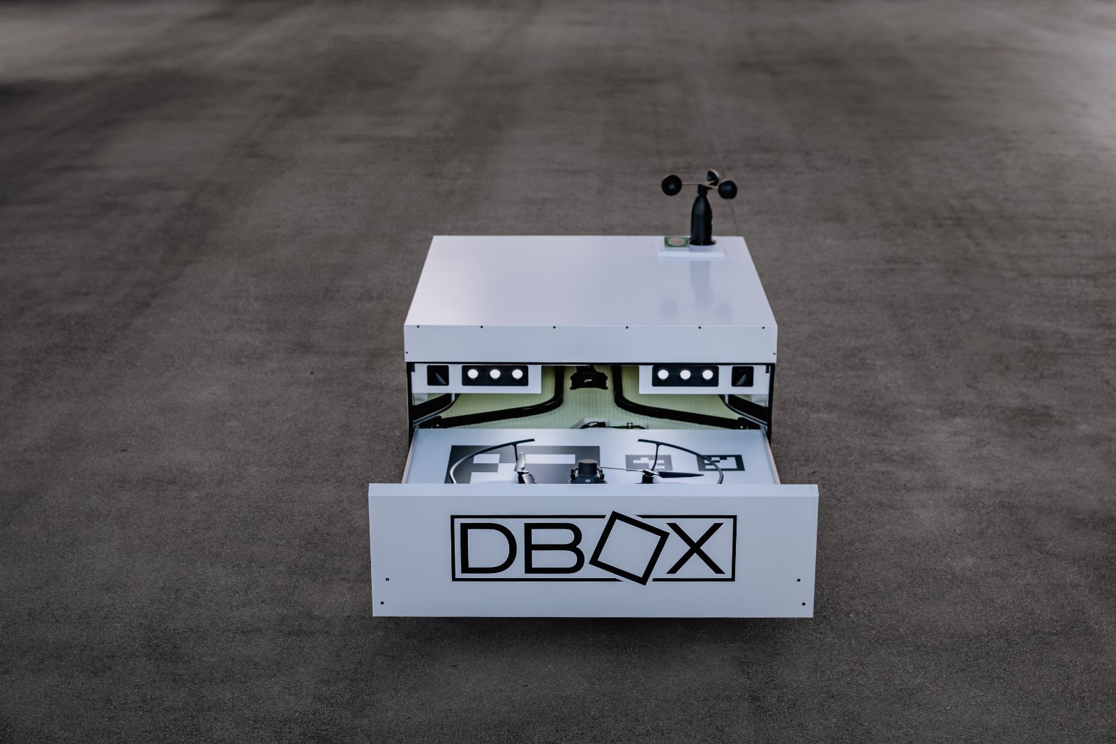
Docking stations placed along transmission corridors, at substations and inside generation sites turn inspection from an expedition into a scheduled data job.
Varme PV park, Latvia · pilot project
Together with Ignitis Group, DBOX ran an autonomous surveillance and inspection pilot at a utility-scale solar park. The station performs scheduled inspection flights, monitors the park perimeter and inspects critical infrastructure areas without an operator on site.
When triggered by alarms from the site's existing security systems, the drone deploys to inspect the specific location in real time, giving the control room a verified aerial view before anyone is dispatched.
Lithuanian transmission system operator
DBOX works with Litgrid, the operator of Lithuania's electricity transmission grid, on autonomous aerial inspection of high-voltage infrastructure, the corridors, towers and substations that carry power across the country.
Deployment details remain confidential. What the work demonstrates is that autonomous drone infrastructure can be integrated into a national transmission operator's maintenance and security processes.
Accurate situational awareness avoids costly downtime and unplanned interruptions.
Remote corridors and difficult terrain inspected without sending crews.
Identical flight paths make inspections directly comparable over time.
Damage mapped within minutes of an event, before crews deploy.
Hot spots on lines, transformers and PV strings detected before failure.
Existing security systems trigger an aerial inspection automatically.
Book a demonstration or discuss integration with our team.